
Map Kansas City ZIP Codes
Kansas City has a postal geography that should be treated as a working coverage framework, not a final city-limits roster. The research did not locate one official static source that verifies every current ZIP serving the municipal boundary, each post office assignment, and every edge overlap. USPS is the authority for a deliverable address, while Census ZCTAs are statistical areas. The physical parcel remains the way to determine municipal and county jurisdiction.
| USPS delivery ZIP or range | Census ZCTA reference | Kansas City municipal or county check | Post office and coverage note |
|---|---|---|---|
| 64101-64113 range | Use the matching ZCTA for statistics | Check exact city-line and county overlap | Central, downtown, and inner-city delivery areas; station assignments vary |
| 64114-64134 range | Use the matching ZCTA for statistics | Confirm KCMO parcel boundary and county | South, southeast, east, and midtown postal areas |
| 64136-64158 range | Use the matching ZCTA for statistics | Verify exact city-limit segments and county split | Farther south, east, and metropolitan-edge postal areas |
| 64160-64199 range | Use the matching ZCTA for statistics | Check parcel before selecting a custodian | North, industrial, unique, or specialized postal possibilities |
| Selected 640xx addresses | Do not equate a ZCTA with a parcel | Confirm if the address is in KCMO or a nearby municipality | 64012, 64030, 64052, 64053, 64055, 64064, 64068, 64079, and 64081 can appear in regional searches |
No row above proves that every address in a range lies inside Kansas City. The table preserves the research distinction: a USPS delivery ZIP is a mail convention, a ZCTA is an approximation built from Census blocks, and municipal or county coverage is an address-and-parcel question.
Verify Kansas City ZIP Codes
The first step in a Kansas City ZIP code directory search is the USPS city and state ZIP lookup. Use an actual street address to confirm deliverable mail formatting. A result that says Kansas City, MO does not by itself show that a parcel is within KCMO, and a KCMO parcel can carry a postal city label or ZIP that looks unexpected on a city map.
USPS’s official lookup is the delivery check before any county or Census route is chosen.
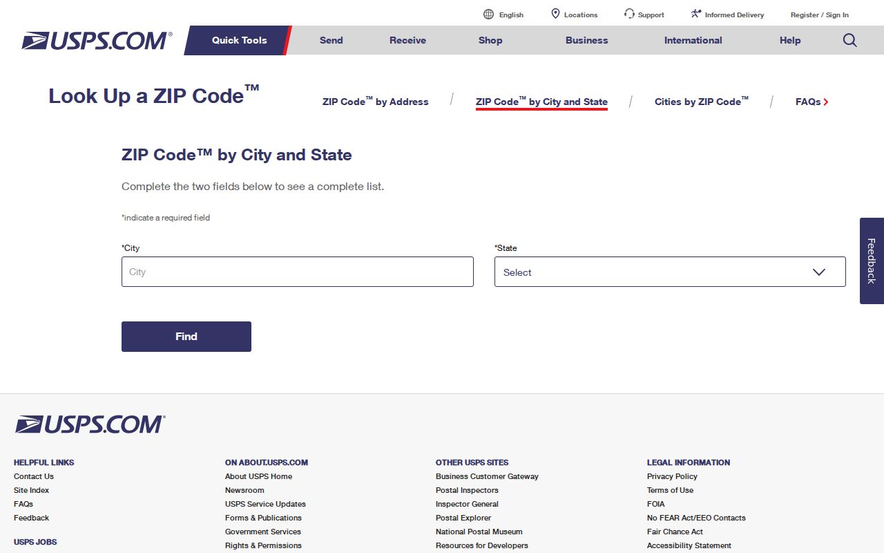
Run the USPS check again whenever an address changes, a route returns an unfamiliar postal city, or a prior record uses an old format. Do not convert the returned ZIP into a claim about the municipal boundary, residency, or the proper deed custodian without the parcel check.
Note: USPS verifies delivery addressing; it does not certify a city-limit or county boundary.
Compare Kansas City ZCTAs
Census ZIP Code Tabulation Areas, or ZCTAs, are generalized statistical polygons built from 2020 Census blocks and ZIP-like delivery geography. They can be noncontiguous and may not represent every USPS route, unique institutional ZIP, or PO Box-only ZIP. That makes a ZCTA useful for broad demographic context but an unreliable substitute for a deliverable address, a legal description, or a county parcel boundary.
Census guidance on ZCTAs explains why a ZIP label and a Census area should not be treated as the same boundary.
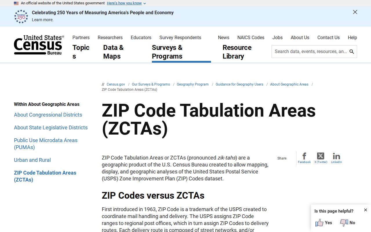
The Kansas City Census profile can show ZCTA areas fully or partly contained in the place, but its accessible text did not supply a simple city-limits roster. For local statistics, keep the ZCTA label beside the USPS ZIP and the actual municipal or county result instead of merging them into one field.
Route Kansas City ZIP Codes
A Kansas City ZIP code does not choose a single county. The city’s majority lies in Jackson, Platte, and Clay Counties, with a smaller Cass County portion. Independence, Liberty, Platte City, and Harrisonville are the relevant county seats. The mailing line can still say Kansas City when the correct assessor, recorder, election authority, or circuit route is in one of those county systems.
Use the KCMO Public Works tools page for regional county GIS links, then confirm the selected parcel. A city map can give useful context, but the county route must follow the property location. That order avoids searching Jackson records for an address whose parcel is in Clay, Platte, or Cass.
Insider tip: Treat the ZIP as a first sorting clue. Put the parcel number and situs county beside it before searching an assessor card or recorder index.
Search Kansas City ZIP Codes
A ZIP can organize a Kansas City search, but the research found no official citywide resident list keyed to ZIP. County property portals may return parcels that match their own criteria, may cap results, and may use county-specific fields. Voter tools are person-focused or request-based. Start with a verified address and use the ZIP only to narrow the geographic question.
- Check the delivery ZIP and postal city using the USPS lookup for the full street address.
- Open a county or KCMO parcel viewer and confirm the situs parcel, municipal status, and county.
- Search the assigned county assessor by address, parcel, or owner method, keeping the situs and tax-mailing fields distinct.
- Use the legal description or parcel ID for the county recorder route, not the ZIP alone, when the question concerns a recorded instrument.
- If a public voter record is relevant, contact the correct election authority for the permitted fields and follow RSMo §115.157 restrictions.
Once a ZIP search narrows to a specific block or address, the Kansas City by-street workflow supplies the parcel, GIS, and deed sequence. A ZIP is a broad location clue, not a replacement for that address-level work.
Kansas City ZIP Code Fields
A ZIP code is not an observed search field in every property portal. The KCMO Parcel Viewer instead offers Name, City PIN, County APN, Subdivision, State Plane Missouri West X/Y, and WGS84 decimal-degree X/Y. The county systems key records to address, parcel, owner, or legal description. Use the postal ZIP to verify the address first, then use the field that the actual record custodian provides.
| Search system | Observed route or field | Best use | Limit |
|---|---|---|---|
| USPS lookup | City and state ZIP verification for a deliverable address | Confirm mail formatting | Does not decide city limits or county |
| KCMO Parcel Viewer | Name, City PIN, County APN, Subdivision, two coordinate systems | Locate a municipal parcel and city map context | Not a ZIP-wide directory |
| Jackson property portal | Street address, Parcel ID, and other methods | Open a parcel card for the Jackson branch | Live full field list was unavailable during maintenance |
| Clay assessor | Criterion dropdown, containing, search term, address | Find a Clay parcel and its sale bridge | Maximum 200 results |
Cass County GIS is the assessment-map route for edge addresses in the Cass branch.
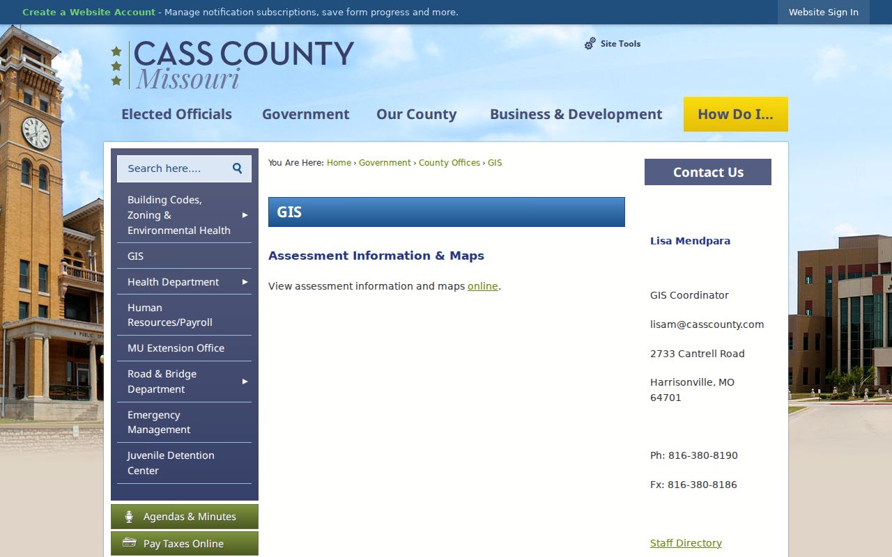
That county GIS route illustrates the key distinction: a Kansas City postal search can lead to an edge address, but the county parcel source still governs the assessment and map follow-up.
Read Kansas City ZIP Labels
Four labels often describe one Kansas City address. The situs or location is the physical parcel. The tax mailing address is where county notices go. The USPS mailing address is the delivery format. The legal description identifies land through lot and block, subdivision, section, township, range, or metes-and-bounds language. Each record office keys its work to a different label.
- ZIP code
- A USPS delivery code that helps route mail. It is not a municipal boundary.
- ZIP+4
- An added delivery detail used by USPS beyond the five-digit ZIP code.
- PO Box or unique ZIP
- A postal category that may not map to a normal street-delivery area or a city-limit polygon.
- Carrier route
- A delivery-route classification that does not replace a parcel or legal-description search.
Assessor searches use parcel, situs, or owner. GIS uses parcel geometry. Recorders use legal descriptions and grantor or grantee names. Voter authorities use registered address and precinct. Keeping these labels separate prevents a tax mail address or ZIP name from being mistaken for the property itself.
Correct Kansas City ZIP Codes
Address correction is shared work in the region. Jackson’s guidance says cities determine addresses within their jurisdictions, while the county assigns unincorporated addresses and the assessor or GIS office handles mapping and address corrections. Cass’s 911 Addressing Office is located at the Assessor in Harrisonville and requires a current owner and driveway location for an address request. Clay maintains assessor GIS and mapping in Liberty.
Parcel identifiers are local. Jackson examples can retain a hyphenated APN and a compact form, while Clay uses Prop ID or Parcel ID alongside section, township, and range. Cass and Platte formats vary. Preserve leading zeros and punctuation. A lot and block can remain stable when a street number changes, but metes-and-bounds text should be copied only from the recorded instrument.
Note: The research did not verify a current Platte E911 contact or active readdressing project, so confirm that route directly before making a correction request.
Trace Kansas City ZIP History
Modern ZIP geography should not be pushed backward into every Kansas City historical source. Printed city directories, Sanborn maps, ward language, and older enumeration geography may use street, neighborhood, or district labels that do not align with a current ZIP or ZCTA. The UMKC 1925 atlas covers subjects including Brookside, Country Club Plaza, Crossroads, Downtown, River Market, Westport, and West Side, showing how local context may be recorded outside postal boundaries.
Jackson directory finding aids reach at least 1865, and Sanborn examples include 1895, 1896, 1905, 1906, 1909, and 1951. Keep the original address form, ward or neighborhood wording, and publication year with any historical result. Those details are more reliable than assigning a modern postal label to an earlier record.
Myth: A current ZIP can locate every older Kansas City record. Historical directories and maps often need their own street, ward, parcel, or neighborhood terms.
Kansas City ZIP Code Limits
Kansas City ZIP code boundaries, postal city labels, ZCTAs, and municipal limits can all disagree without any one being wrong. A ZIP that returns Kansas City, MO can serve an address outside KCMO. A parcel within KCMO can have a shared postal city name or a ZIP that is not intuitive from a map. That is why a ZIP cannot prove city residence, county custody, or a person’s connection to an address.
Use the narrowest record. Verify delivery with USPS, geography with the parcel map, and custody with the county office. Use records for lawful personal research, and never use an address or ZIP trail to stalk, harass, intimidate, or harm anyone.
Neighborhood names provide useful context, but they are not ZIP boundaries. The KCMO plan and local map materials can help describe an area after the parcel is identified. Keep that context separate from postal delivery and from any conclusion about a particular person.