
Kansas City Previous Residents by Era
A backward address trail changes source as it crosses time. Start with the current county parcel card to capture the legal description and parcel number, then use the recorder to locate recorded instruments. Historical directories and released census schedules add a household layer that a deed cannot supply. Permits and Sanborn maps date the building or its changes, while obituaries and probate can help test an endpoint. Kansas City covers four counties, so the address's situs county determines which recorder and assessor hold the main chain.
| Source | Years It Covers | Where Held | What It Shows |
|---|---|---|---|
| Jackson deed index and images | Early 1960s online; older records on microfilm; plats to 1826 | Jackson Recorder/Aumentum and office | Grantor, grantee, instrument, legal description, and image where digitized |
| Clay Recorder | 1968 to present stated online | Clay Recorder/iCounty | Name-indexed deeds and instruments, not an address search |
| Kansas City directories | Finding-aid runs from 1865; selected examples through 1988 | Library and archive finding aids | Dated address-to-occupant and name-to-address snapshots |
| Federal census | Released schedules under the 72-year rule | NARA, HeritageQuest, or FamilySearch | Historical household and enumeration geography |
| KCMO permits and certificates | Permits generally from 1986; certificates after the 2018 system launch | CompassKC or records request | Construction, permit, inspection, project, and certificate clues |
| Sanborn sheets | 1895, 1896, 1905, 1906, 1909, and 1951 examples | Library of Congress | Building footprint, materials, use, and street context |
Use the newest reliable parcel and deed evidence for a recent transfer, then move back one confirmed instrument at a time. When the question is about who lived here before rather than who held a recorded interest, pair the deed chain with a directory and a released census. The research did not identify complete online cutoffs for Platte or Cass recorder material, so their county offices or portals must confirm the next access step. Note: Keep the document date separate from the date a directory or census statement was created.
Kansas City Previous Residents Need County Routing
A Kansas City mailing address does not settle the custodian. City limits cross Jackson, Clay, Platte, and Cass Counties, and those counties use separate assessors, GIS systems, recorders, election authorities, and circuit routes. Find the situs county on the parcel record before searching a recorder. Jackson is often the route for central and southern addresses, but a Kansas City label can also lead to Clay, Platte, or Cass. The city parcel viewer can connect a city PIN to a county APN and permit or plan links, yet it does not replace the county deed office.
For a map-and-parcel check, use the Kansas City Parcel Viewer and compare its city PIN or county APN with the appropriate county assessor record. The current-owner field is a starting clue. A tax mailing address can differ from the physical situs address, and it may represent correspondence rather than current presence. Preserve the legal description because it can remain stable when a street number or street name changes.
Kansas City Past Residents Before Online Deeds
Online access has hard local edges. Jackson County's recorder describes recorded documents from 1826, but its online recorded-document inventory reaches only the early 1960s. Older Jackson documents remain a microfilm and office task, while plats reach back to 1826. Clay states online records from 1968 to date. Platte and Cass provide iCounty or free-search routes, but the exact digitization cutoffs were not located in the inspected sources. A portal gap is an access limit, not evidence that the prior record failed to exist.
Insider tip: Jackson Recorder staff can provide up to ten minutes of instruction on indexes, microfilm, and PC searching. They cannot make title determinations or conduct a phone search.
Start at the Jackson Recorder's online-search instructions for the correct document options and microfilm boundary. Ordinary Jackson copies are listed at $2 for the first page and $1 for each additional page, while certified copies have a separate schedule. The research does not support treating the recorder's index as a title opinion, and an index does not identify every person who may have used an address.
Trace Kansas City Previous Residents Through Deeds
The deed chain works backward from a confirmed parcel, not from a mailing field. Open the county assessor card, save the parcel number, subdivision and lot or block if shown, and the legal description. Use GIS to confirm that the parcel is the intended building. In the recorder index, find the current owner's acquisition deed as grantee, match its legal description to the parcel, and capture the seller, document date, instrument number or book and page, and any prior-instrument reference. The seller becomes the next grantee search, but every candidate must match the legal description before it joins the chain.
- Identify the situs county and pull the present parcel card, including parcel number and legal description.
- Search the current owner as grantee in that county recorder index and open the acquisition instrument.
- Record the grantor, recording date, document number or book and page, and exact legal description.
- Search that grantor as grantee in earlier records, matching the legal description at each link.
- Move to recorder microfilm or deed books when the required period falls before the online cutoff.
Read the instrument type carefully. A trustee's deed, quitclaim, deed of trust, release, or transfer-on-death instrument should not be flattened into an ordinary sale. A recorder chain traces recorded interests, not every household. It also cannot establish unrecorded changes or current possession.
- Grantor and grantee
- The grantor is the party transferring an interest. The grantee is the party receiving it in the recorded instrument.
- Chain of title
- A dated sequence of recorded instruments linked by the same parcel or legal description, not a substitute for a professional title determination.
- Legal description
- The lot, block, subdivision, section, or metes-and-bounds wording that identifies land more reliably than a street address alone.
Kansas City Previous Residents in Clay Records
Clay County needs a different maneuver. Its recorder index is alphabetical by name and cannot be searched by street address. Use the Clay assessor parcel result to obtain the parcel, owner, situs, and sale-information clues, then carry the name and instrument, book and page, or deed date to the recorder. This is not a shortcut around verification. The parcel and legal description still need to agree with the document before it belongs in the historical chain.
The Clay assessor parcel search shows a result structure that includes Prop ID, Parcel ID, Owner, Situs, and Map Description. Its parcel panel can add a co-owner, mailing address, legal-location parts, values, and sale instrument, book, page, deed type, and date. The map description is not intended for legal documents, so the recorder remains the source for a deed copy. This county-specific bridge prevents a failed address search from being mistaken for a missing record.
Kansas City Addresses Need a Continuity Packet
Past residents can be attached to the wrong building when the modern street number is used as the only identifier. Kansas City history includes renamed streets, renumbering, annexation, and jurisdiction changes, but the inspected sources did not provide a single authoritative list of all such changes. Build a continuity packet instead: a current address checked with USPS, county parcel and legal description, the old directory street range, ward or precinct wording, a Sanborn sheet, census enumeration geography, and a documented rename or renumbering bridge when one is found.
The Library of Congress holds Kansas City Sanborn material, including 1896 volume 2. Its sheets show the building footprint, materials, number of floors, use, and surrounding streets. They do not create a resident list. UMKC LaBudde's 1925 Kansas City Atlas is another time-specific parcel context layer, showing building footprints, land ownership, neighborhoods, and transit routes. Use maps to test whether the old address refers to the same physical place.
Kansas City Past Residents in Directories and Census
Owners are only one part of an address history. Historical city directories can connect a street address to a listed person, while released census schedules add a historical household and enumeration geography. First verify the directory's address-side line, then check the matching alphabetical entry and the adjacent years. Pair that sequence with the released census nearest the directory date. Do not substitute a modern ZIP for the historical ward, township, or enumeration district. The collection details and entry-reading method belong in the Kansas City city directory collections.
- Copy the directory year, address, name spelling, and all notations exactly as printed.
- Check the alphabetical and address-side portions of the same volume when both are available.
- Compare the next directory year before treating an appearance or disappearance as a move.
- Use a released census schedule and its historical geography to test the household connection.
- Use an obituary, probate file, or map as a dated endpoint or cross-check, not as a replacement for the chain.
See the National Archives 1930 city-directory guide for the 1929 to 1931 Kansas City directory reels identified there.
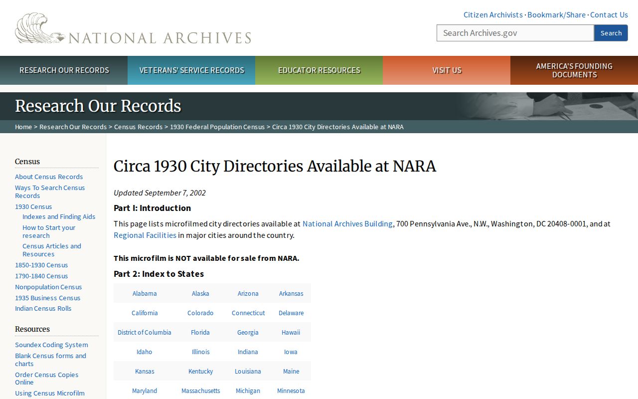
The guide supplies a targeted reel lead, while the library or archive still confirms which edition can be consulted. Directory entries may lag a move and should be treated as historical snapshots.
Lawful use. Kansas City house-history research is for personal, family-history, estate, and property-curiosity purposes. Do not use dated address evidence to harass, stalk, or harm anyone.
Kansas City Previous Residents and Building Clues
KCMO permit records can date construction, additions, demolitions, inspections, and a project application. CompassKC generally carries permits from 1986, and certificates of occupancy are more complete after the system's 2018 launch. Older certificates may require an IB165 search and a Sunshine request. That material explains the physical history of a parcel, but it is not proof that a particular person lived there. The same caution applies to tax-card living-unit counts, sketches, and class or use fields.
For collection and referral help, begin with KC History, then contact Jackson County Historical Society when donated county material may add maps, photographs, letters, or ledgers. JCHS requires an appointment at least a week ahead, offers free in-person research, lists document copies at $0.25 per page and digital documents at $1 per page, and may not hold a needed item unless it was donated.
The Jackson County Historical Society research-request route is the source shown below.
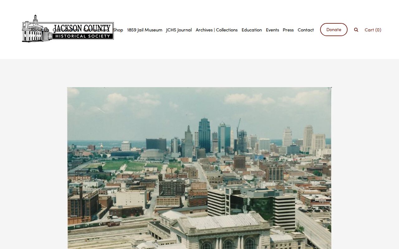
Use an archive result as dated context alongside parcel, deed, directory, census, map, or probate evidence. It can strengthen a timeline without turning a historical reference into a current-address claim.