
Search Kansas City Streets
A Kansas City street can cross or approach several county systems, so the mailing city is not enough to choose a records office. Most city land is in Jackson, Platte, and Clay Counties, with a smaller Cass County portion. Begin with the physical parcel rather than a name in a mailing block. The county determines the assessor, recorder, election authority, and circuit route. A city parcel viewer can add municipal context, but it does not replace the county record that controls ownership history.
- Normalize the address, including the street number, direction, unit if relevant, and the ZIP shown on the mail. Use the parcel map to establish the situs county.
- Search that county assessor by address or parcel identifier. Save the parcel number, situs address, legal description, and the date on the card.
- Open the county GIS viewer, select the same parcel, and use map clicks to examine the street segment or adjoining parcels one at a time.
- Use the legal description and current owner name in the county recorder index. Work backward through the grantee and grantor trail rather than treating a mailing contact as a current occupant.
- For a dated address clue, consult the reverse or criss-cross portion of a historical directory, then verify the name in its alphabetical section and nearby years.
The voter route comes last and is narrow. Missouri makes specified voter-file fields public under RSMo §115.157, but the ordinary state lookup is an exact person match, not a public street browser. A local election authority can address a properly described request subject to the statute and protected-address rules.
Note: Record the county before opening a deed index, because a Kansas City postal label does not select a single recorder.
Kansas City Parcel Records
The Jackson County Public Property Access Portal is a parcel starting point for the Jackson branch. Its home route offers street address, Parcel ID, and other methods, with Real Property and Personal Property areas. The county announced a new portal in July 2025 with a Values tab and printable impact notices or property record cards. The service displayed a maintenance notice during research, so live controls should be rechecked before relying on a particular form.
Jackson distinguishes the physical Location from the Mailing Address used for tax communications. The parcel-card samples documented owner or title information, tax year, alternate ID, address, class, land-use code, living units, acres, legal description, tax district, subdivision, and an owner mailing block. Assessment information is not an official or certified source. A name in the mailing block may be a correspondence contact or a former owner, so it should never be relabeled as proof of present residence.
| Address-keyed record | Kansas City custodian | Useful evidence | Access boundary |
|---|---|---|---|
| Assessor parcel card | County assessor | Owner, situs, mailing, value, class, legal description, parcel identifiers | Jackson and Clay online routes; Cass GIS and Platte assessment routes vary |
| Parcel map | County GIS or KCMO Viewer | Parcel geometry, districts, map layers, city PIN or county APN | Map information is not a survey or title record |
| Recorded instruments | County Recorder of Deeds | Grantor, grantee, instrument, legal description, conveyance trail | Online period differs by county; older Jackson material is on microfilm |
| Permit and code record | KCMO and CompassKC | Project, permit, inspection, plan, certificate-of-occupancy clues | Address evidence, not a roster of people |
| Historical directory | Library and archive collections | Dated name-to-address or address-to-name listing | Historical snapshot, not current occupancy proof |
Insider tip: Keep the situs and mailing fields in separate notes. Jackson’s samples show that they can differ, and that distinction prevents a tax correspondence address from being mistaken for the parcel location.
Kansas City GIS Street Segments
The Jackson County Parcel Viewer supports the map half of a Kansas City street directory search. After accepting the disclaimer, use its address-or-parcel search, select the result, and record the parcel number before panning along the street. The information panel can show lot size, building information, land-use code, tax code area, exemptions, districts, values, legal description, owner information, and TIF, CID, or TID fields when present.
Jackson County’s Parcel Viewer shows the map and property-panel route used to connect an address to a parcel.
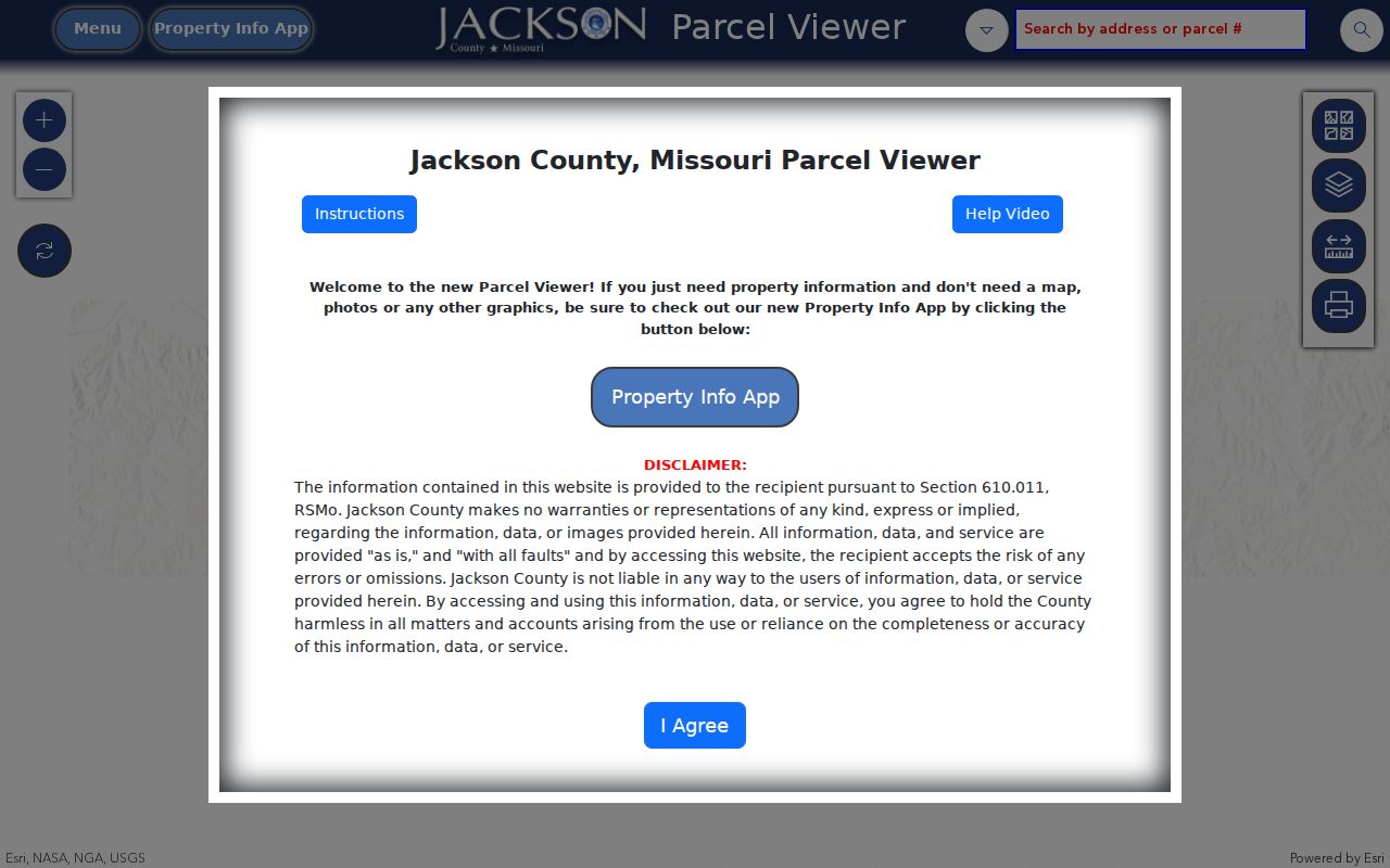
Map clicks can move from a selected parcel to the next parcel, but the viewer does not publish a radius-based resident list. Its disclaimer also says dimensions are not survey accurate and easement records belong in county records. Print or export is useful for a dated research snapshot, then the recorder index supplies the instrument trail.
The KCMO Parcel Viewer adds a city PIN, county APN, ownership tip, zoning and flood layers, plus links to permits, plans, projects, and code cases. Its search choices include Name, City PIN, County APN, Subdivision, and two coordinate systems. Use that viewer for the municipal layer while retaining the county parcel number for the legal record route.
Kansas City Address Search Fields
For an address in the Clay County portion of Kansas City, the Clay Assessor Parcel Search exposes a compact but useful field set. Results can show Prop ID, Parcel ID, owner, situs, and map description. The parcel panel adds property address, co-owner, owner mailing details, use and type, section, township, range, tax area, assessment values, and sale instrument, book, page, deed type, and date. It caps results at 200 records.
| Observed control | How it is used | What the route returns |
|---|---|---|
| Find parcel(s) based on | Select the available criterion | Starts the parcel-match route |
| Containing | Controls the matching approach | Broadens or narrows the term match |
| Enter search term | Supply the selected parcel, owner, or address term | Candidate parcel rows, subject to the cap |
| Enter address | Use the parcel location when available | Situs and map-description context |
| Blue Parcel ID link | Open a selected result | Detailed parcel, assessment, and sale fields |
Clay County’s assessor search displays the controls and parcel-result fields that bridge a street address to the name-based recorder index.
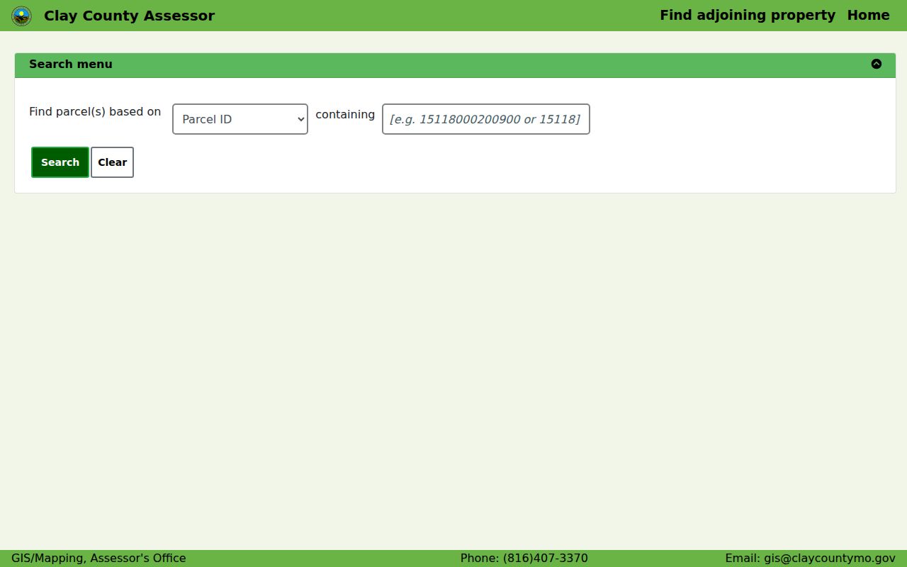
The sale instrument, book, page, deed type, and date are especially useful handoff fields. They are not a finding that every person attached to a street appears in a public record.
Kansas City Deed Chains
A Kansas City deed search starts from the parcel’s legal description and acquisition record, not from the street alone. In Jackson, search the current owner as grantee, match the legal description to the assessor record, note the seller or prior grantor and any earlier instrument reference, then repeat. The chain records an interest at the time of recording. It does not list every person who may have used the address.
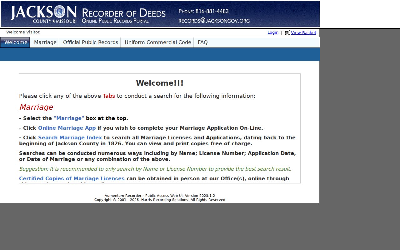
Jackson’s Recorder search instructions describe recorded documents online from the early 1960s and plats reaching 1826, with older material available on microfilm. Clay’s recorder is alphabetically indexed by name and cannot be searched by street location. The Clay assessor sale table is therefore the bridge from a parcel to its recorded instrument. Platte and Cass provide iCounty or free-search entry points, but their exact online cutoffs were not located.
Jackson Recorder’s Aumentum entry point is the online doorway for the digitized deed search, which may require a county-office or microfilm follow-up for older material.
Myth: A long deed chain is a list of everyone on a street. It is not. It is a dated chain of recorded interests, and it must be matched to the correct legal description at each step.
Kansas City Permit Addresses
City permits and code cases help date work at a Kansas City address. The city says CompassKC holds most permits from 1986 and certificates of occupancy since the platform’s 2018 launch. An older certificate-of-occupancy search can require the legacy IB165 route and a Sunshine request. Permit results can contain project, applicant, inspection, plan, occupancy, or code fields, so label them as project evidence rather than proof of who lives there.
The city viewer links parcels to permit, plan, code, zoning, flood, and development context. A street segment can also fall near county or municipal edges, which makes the county parcel and city PIN worth retaining together. The parcel map is the place to connect those keys, while the underlying record custodian remains the source for a copy or correction.
Note: A permit may explain work at an address, but it does not establish a current household.
Kansas City Street Directory History
Historical reverse and criss-cross directories are the address-to-name portion of a Kansas City street directory. Search the street section for the publication year, capture the printed notation, then check the alphabetical section and adjacent volumes. Kansas City directory finding aids reach at least 1865, while later examples extend through 1987-88. Publication timing, initials, spouse notations, abbreviations, changed street names, and apartment numbers can all create a false negative.
For the collection runs, microfilm access, and how to read the printed notation, use the Kansas City city directories collection route. A historical listing is a dated snapshot. It should be kept separate from a modern parcel card or a recorder entry.
Missouri Digital Heritage describes annual city directories but does not list Kansas City among its public digitized collections. That gap is a reason to use library and archive finding aids, not a reason to assume a missing book never existed.
Kansas City Street Terms
Different Kansas City record systems key their searches differently. The assessor uses parcel, situs, or owner fields. GIS centers on geometry and parcel identifiers. The recorder relies on legal descriptions and grantor or grantee names. Directories use the printed address from the year of publication. Writing down each original label makes the chain easier to verify when a street number or county route changes.
- Parcel
- A mapped unit of land identified by a county number and tied to assessment and GIS records.
- Situs address
- The physical location of the parcel, distinct from the address used for tax mail.
- Plat
- A recorded map or plan that can show lots, blocks, subdivision layout, and land boundaries.
- Criss-cross directory
- A reverse directory section arranged by street address rather than primarily by a person’s name.
Jackson parcel formats can retain hyphens and leading zeros, while Clay also uses Prop ID or Parcel ID with section, township, and range. Preserve the punctuation exactly. A lot and block or other legal description may be more stable than a street number.
Kansas City Street Voter Records
Missouri’s official voter portal requires exact registered data, including first name, last name, date of birth, last four SSN digits, and county. The Kansas City Election Board status tool uses first name, last name, and date of birth for its Jackson County city area. Those tools are designed for an individual status check. They are not a way to browse every address on a Kansas City street.
For a permitted list request, identify the correct county election authority, election date, field set, format, and lawful purpose. The Jackson Election Board request form invokes the Missouri Sunshine Law and says the office should respond by the end of the third business day or provide a reason for delay. Public fields remain subject to statutory limits, and a no-match can reflect status changes, address-confirmation activity, or a protected address rather than nonresidence.
Kansas City Street Directory Limits
A street-level record trail has hard boundaries. It may not show unlisted household members, protected voter addresses, Safe at Home participants, DMV records, utility or delivery customers, sealed or expunged court matters, or unrecorded transfers. A parcel map can show a parcel and a deed can show a recorded interest. Neither source authorizes a public personal profile for everyone associated with an address.
Lawful use. Kansas City address records are for personal, lawful research and civic record checking. Do not use an address trail to stalk, harass, intimidate, or harm anyone, and do not try to defeat a protected-address program.
When the goal changes from an address chain to confirming one named record, use the correct county office and its stated access channel. The safest conclusion is often a narrow one: a document or parcel card ties a person, address, or event to a stated date, not to every other claim a search might suggest.
Note: Mark each result as owner, mailing contact, historical occupant, project contact, or voter-record field instead of treating those labels as interchangeable.